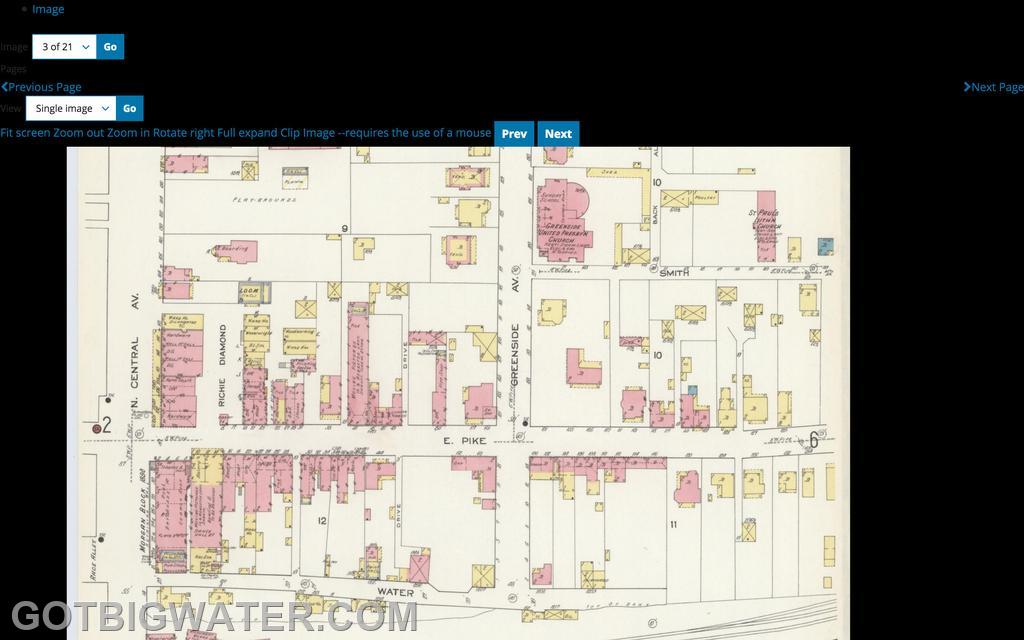
Sanborn Maps are perhaps one of the most interesting pieces of fire insurance underwriting; their level of detail is really pretty amazing and the fact they were done before the era of the personal computer only adds to the fascination with the mapping system. The mapping system was started in 1866 and continued until the last new map was created in 1961. Millions of dollars of fire insurance were underwritten using information from the Sanborn Maps. Today, the maps can be found using the Library of Congress system.